Marine Protected Areas Management and Monitoring (MarPAMM)
The Marine Protected Areas Management and Monitoring (MarPAMM) project started in December 2018. This project will use the wide experience of a novel partnership to deliver four novel models designed to support the conservation of habitats and species that underpin Marine Protected Area (MPA) designations within the eligible region. Together with models produced by sister INTERREG VA projects (COMPASS and SeaMonitor) these models will provide the sound scientific evidence base required for marine management plan development for MPAs.
 The Marine Protected Areas Management and Monitoring (MarPAMM) Project

In addition to the model outputs, MarPAMM will be delivering 6 MPA management plans (North Coast Ireland – North Channel; Argyll region; Outer Hebrides region; County Down – County Louth, Carlingford Lough and Murlough Bay), using a cross-border, collaborative focus and extensive stakeholder engagement.

MarPAMM has completed work on survey counts and tagging and tracking work on key seabird species at several sites in Co Down, (Northern Ireland), Donegal (Ireland), Bangor and remote islands in western Scotland. Results from the work have been formatted into factsheets to highlight the current state and prediction of future trends in population and continued presence of 19 seabird species in the Interreg VA region (NI, RoI and Western Scotland).

The seal distribution map created through collaboration with MarPAMM, COMPASS and the Interreg Atlantic funded project JONAS has now been accepted as the standard reference by the Scottish government for planning developments. Work on acoustic recordings from seals off Malin Head are almost complete.

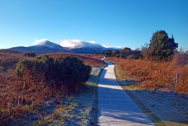
Recently the MarPAMM project launched its first permanent exhibit in NI at Murlough in the form of two interactive walking routes through the NNR.

The MPA management plans on Argyll, Outer Hebrides, Murlough, Carlingford, North Coast/North Channel region and County Down/County Louth region are in the final comment stages and will soon be published on the website for public viewing. These plans involved extensive work and collaborative effort between stakeholders, statutory bodies and MarPAMM Policy staff to create plans responsive to current needs and future recommendations for the MPAs along our coastline.
MARPAMM contacts and further information:
MARPAMM Website;
MarPAMM on twitter;
Irish Regions MarPAMM on Facebook
View the INTERREG VA Marine Protected Area (MPA) Projects Webinar
COMPASS and MarPAMM closing event, June 2022
